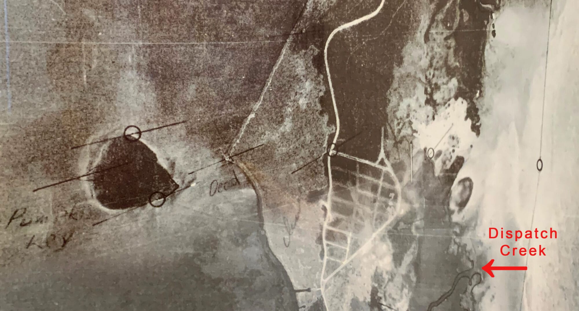
How We Got Here by Mike Smith In 1850, the U.S. Government enacted the Swamp and Overflowed Lands Act. Primarily aimed at the development of South Florida’s Everglades and swampy areas, the act transferred nearly 200 million Federal acres to the state of Florida. In return, the state of Florida agreed to drain certain high lands and turn it into productive, agricultural use. Surveyors were employed to map areas which included North Key Largo. In 1872, braving crocodiles and mosquitoes, Marcelous Williams surveyed the area where Ocean Reef is now located. His somewhat arbitrary decision to place the survey boundary across the mouth of Dispatch Creek instead of along the waterway itself would eventually play a critical role in our OR development. This line established the presumption that Dispatch Creek was nonnavigable and would therefore limit the future jurisdiction of various permitting agencies that might have stopped or impeded development. His notes on this area which also included Snapper Point gave rise to the later argument that the land was upland (land above mean high water). As a result, the state took action and aerial photos as early as 1928 show large tracts of North Key Largo as farmland growing … Continue reading How We Got Here Pt. 2
